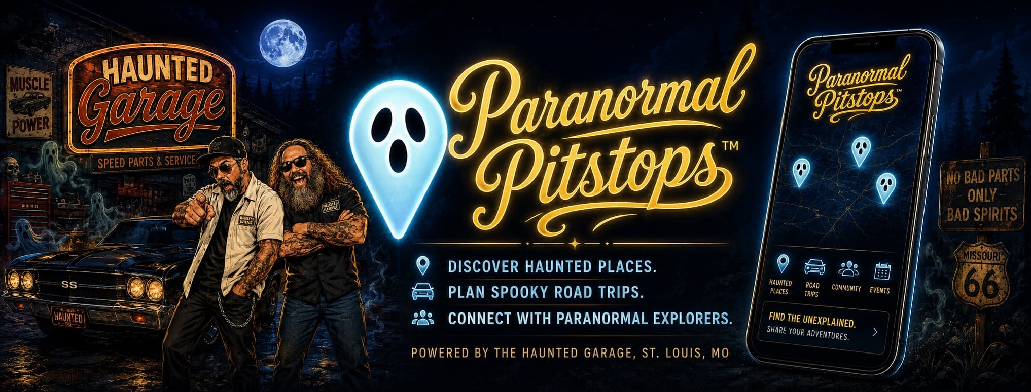
ParanormalPitstops
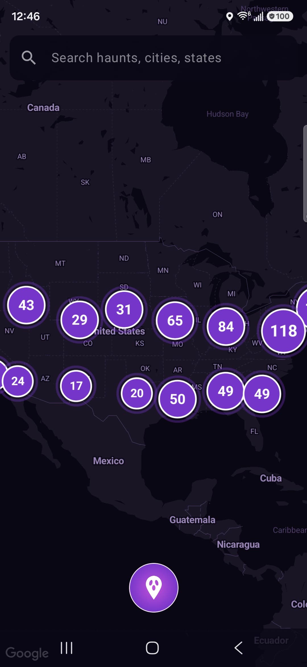
America's most haunted places, on one map. More than 750 real, visitable locations across all 50 states — with the true story behind every single one.
This is the app
Every town has a place
people whisper about
The hotel with the room nobody will book. The theater where the lights come on by themselves. The bridge you don't stop on after dark.
This isn't a list of made-up scares. Every location is a real place you can drive to, and every story is grounded in documented local lore and firsthand accounts — because a made-up ghost story is worthless to somebody standing in the parking lot at midnight.
Built for the Road
Made to be used in the car and at the door — not on the couch.
750+ Real Places
Historic hotels, old asylums, Civil War inns, lighthouses, theaters, and roadside legends. All 50 states, all on one clustered map.
The Real Story
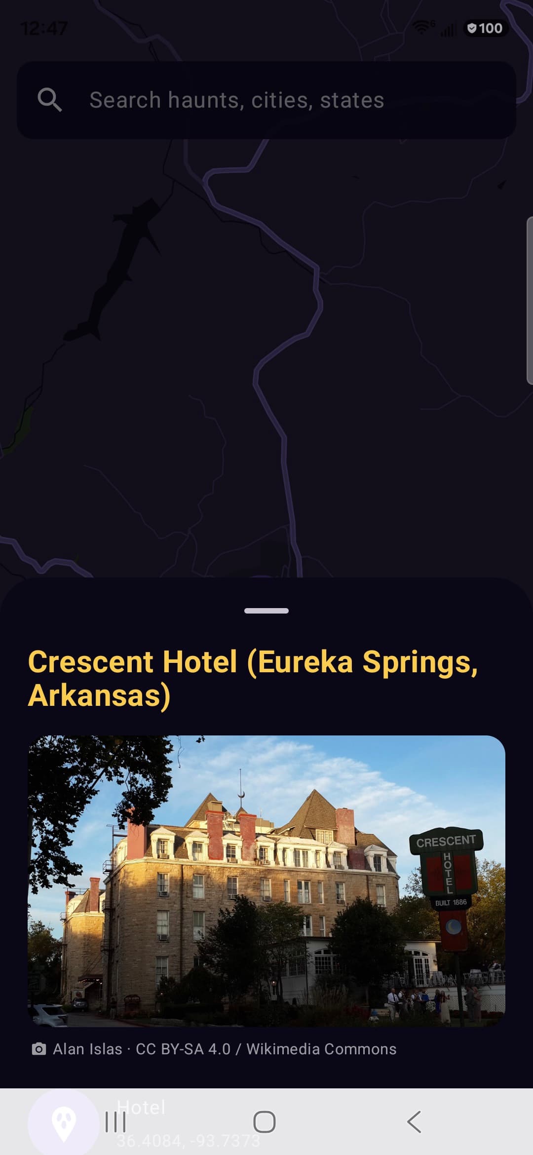
Every stop has the documented why — local lore, records, and firsthand accounts from people who stayed, worked, and investigated there. Written to be read standing at the door.
Proximity Alerts
Driving somewhere else entirely? Get a heads-up when a haunted place is one exit away. You set the distance, 1 to 20 miles.
Near Me
Find the closest haunts wherever you happen to be, then get directions in Apple Maps, Google Maps, or Waze.
Search by State
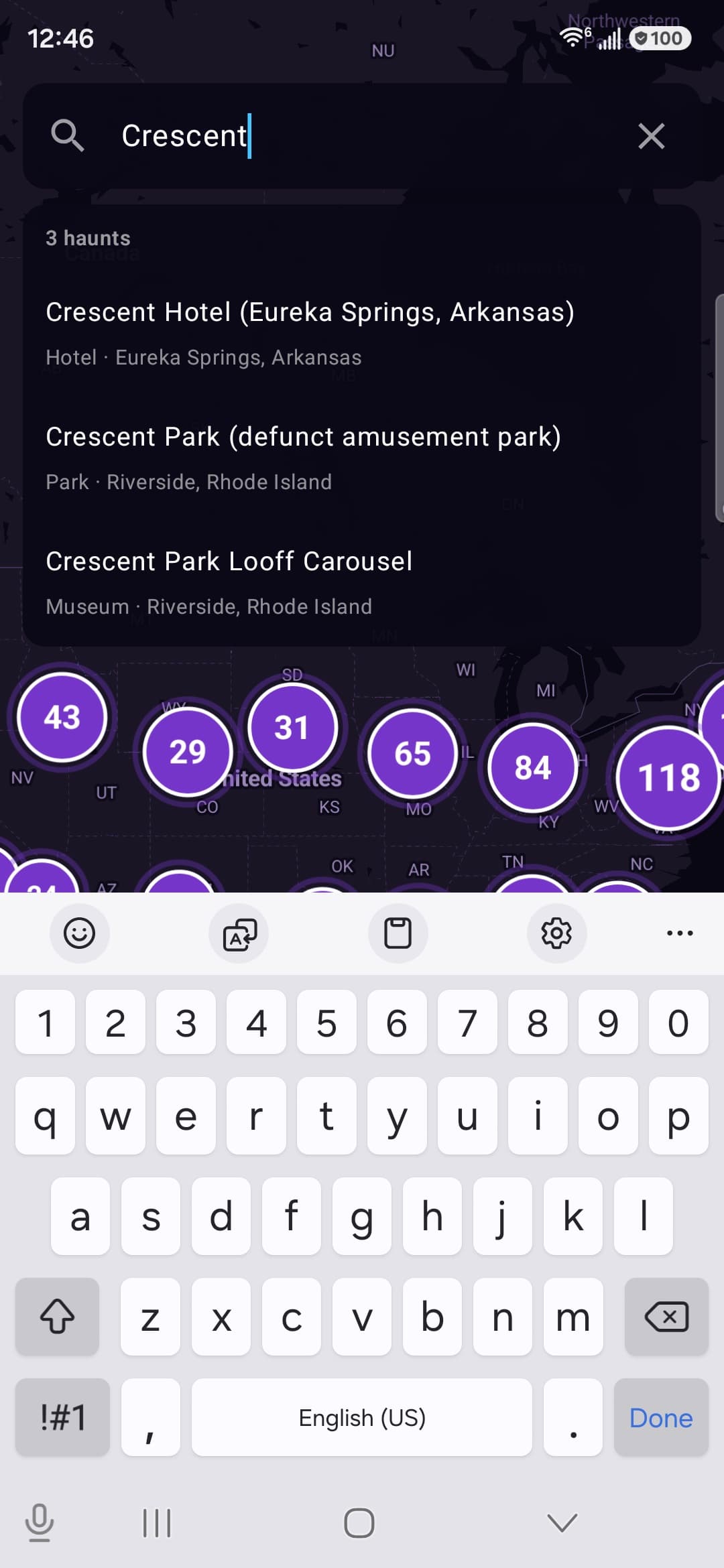
Type “Ohio” and see every haunt in it. Search by name when you already know what you're hunting.
Bucket List
Favorite the ones you love, stack the rest into a bucket list, and plan a haunted road trip that actually makes geographic sense.
Pack a bag. Charge your phone.
Some of these places have been waiting a long time for company.
Free. No ads. Ages 12+ for mild horror themes.